

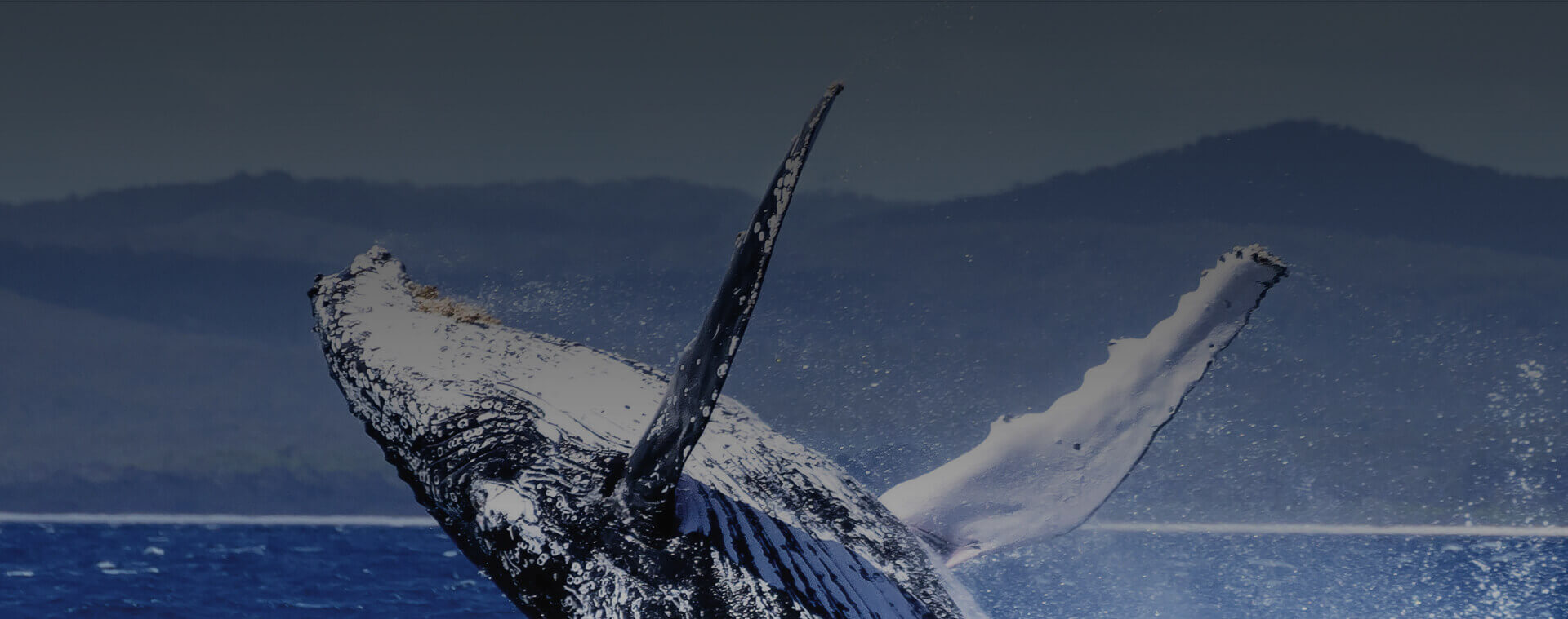
Feel the Breeze
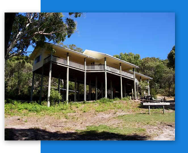
Orchid House at Orchid Beach
Fraser Island accommodation in a self contained rental house at Orchid Beach Queensland in the heart of the National Park and a World Heritage Listed Area.
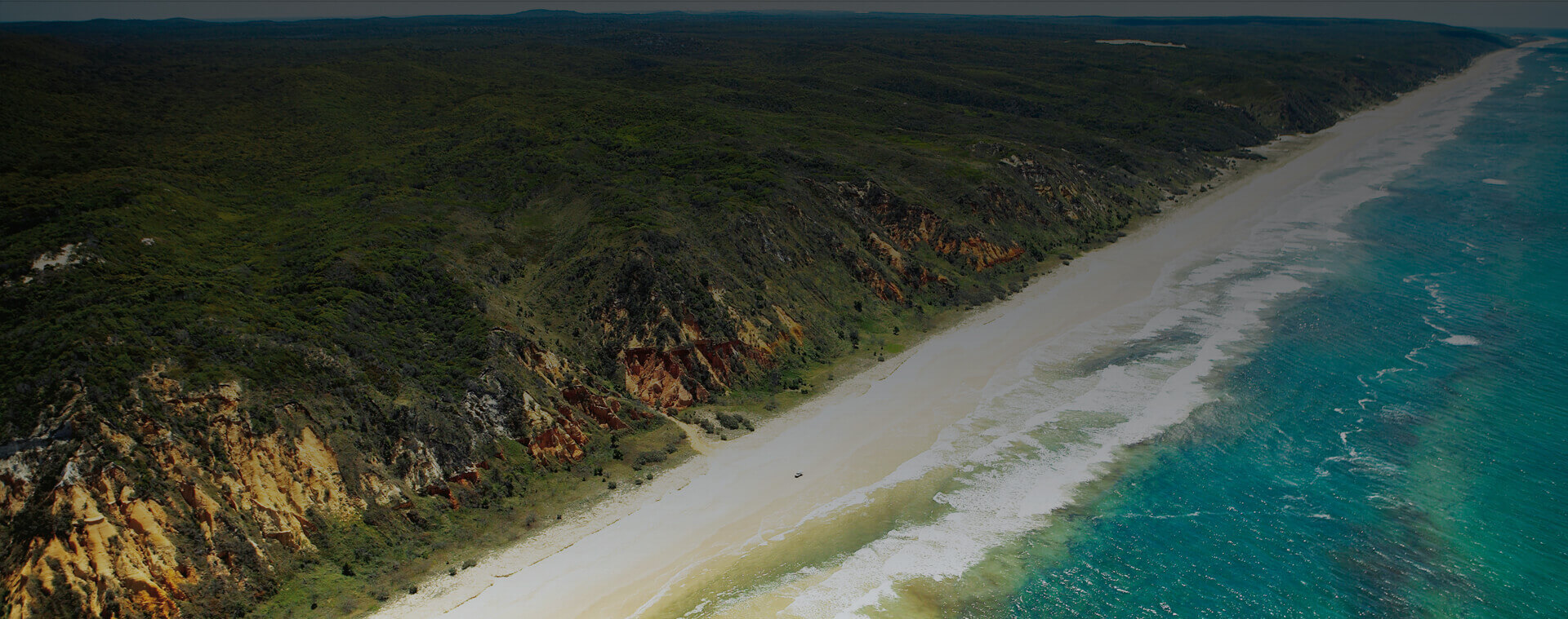
 Orchid Beach
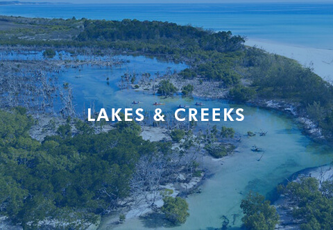
Orchid Beach is on Marloo Bay in the north east of the island and is the peaceful alternative to the busier southern resort settlements of Kingfisher Bay, Eurong and Happy Valley. We don’t have a resort hotel, heavy beach traffic, tour buses or day-trippers.
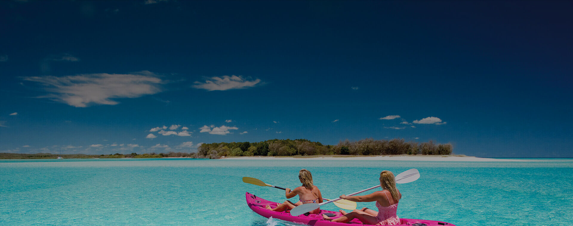
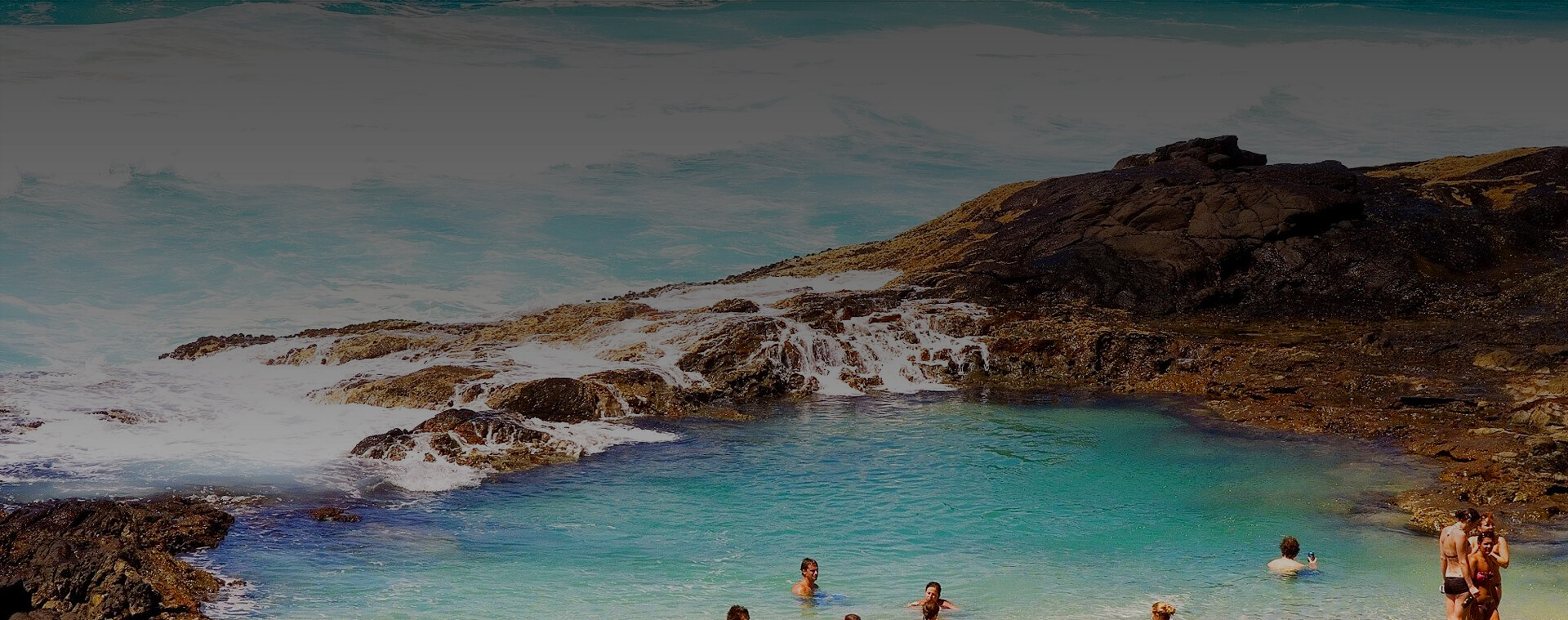
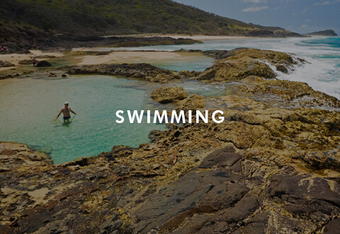
 Swimming
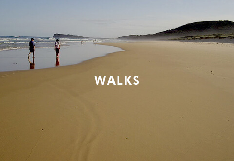
Children can swim in the saltwater Champagne Pools, the freshwater Ocean Lake, and the numerous shallow lagoons and low tide gutters along the beach in the sheltered bay, or climb and slide down the many high sand hills.
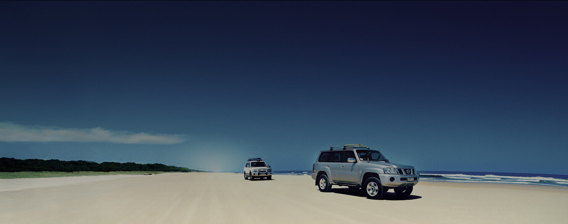
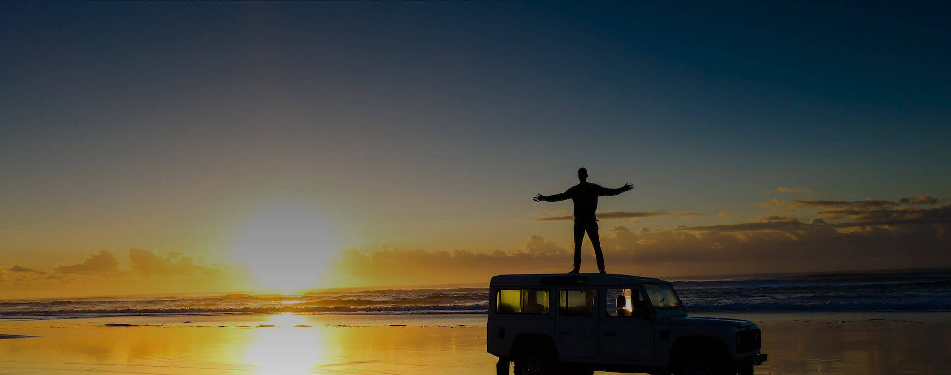
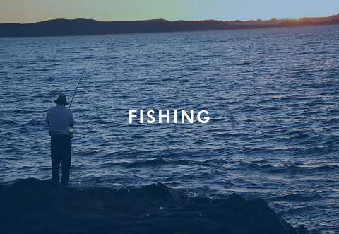
 4WD
4WD
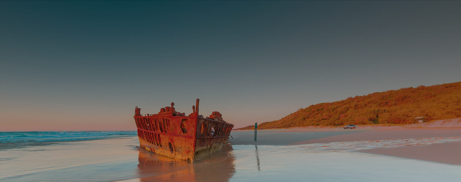
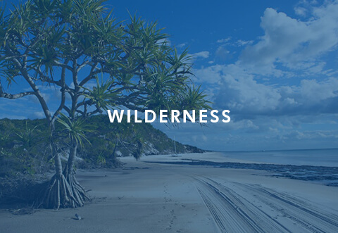
A 35 kilometre drive north will take you up the beautiful wilderness area beach to Sandy Cape and around the tip of the island to the historic lighthouse and wartime bunkers.
THE
Orchid House
your personal spectacular beach house
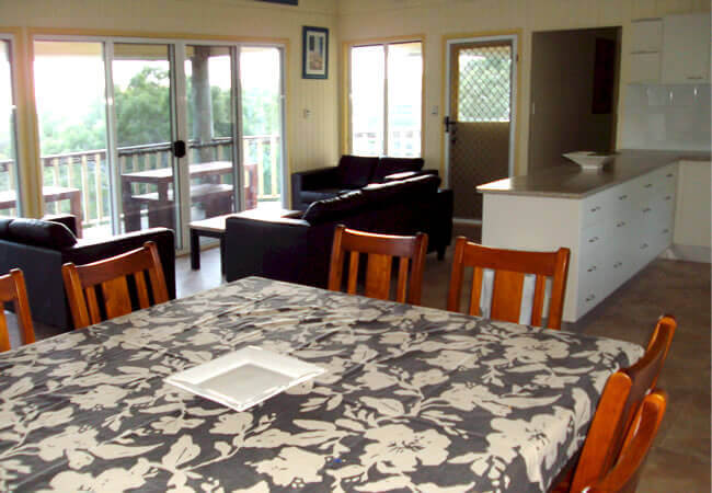
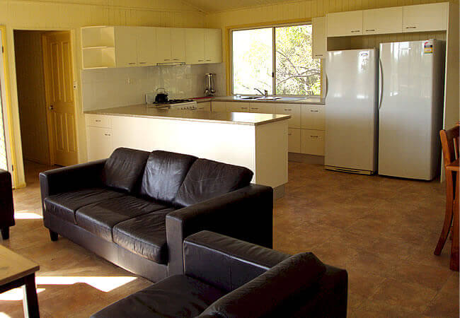
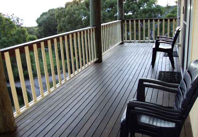
Orchid House nestles on a private 3/4 acre block of paradise looking over tall trees to the Pacific Ocean. Situated about 400 metres from the beach, it is fully self contained and sleeps a maximum of 8 people in 4 bedrooms. The house captures every sea breeze for the bedrooms and living areas have ocean views to the front, and the privacy of native bushland to the rear.
-
 “Recommended, 5 out of 5. Just letting you know we had a fantastic time on Fraser. The beds were really comfortable and the house was perfect for the two families. Thanks again, we would have no hesitation in recommending your house to anyone and we certainly hope to come back in the not too distant future.”
 -
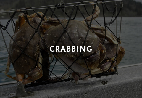
“We had a terrific week in the house. Didn’t catch many fish but the weather was perfect, and the house was ideal for the two families to get together.
Already talking about when we can get back there. Thanks again for the use of the house and for your generosity.”
-
“It is over two years since we last stayed at Orchid House, love the new kitchen.
The boys caught plenty of fish this time as well. Hopefully we will not wait so long to visit again – fantastic as before.”
-
“We stayed at Orchid House between the 27th July and the 1st August. We had a lovely stay whilst there.”
-
“We have had the privilege of staying in your Orchid House at Fraser a few times.
We were wondering if you would again rent this accommodation in July.
Linda and I are currently working a contract in Mexico.”
-
Thanks for our great holiday at Orchid Beach – we really enjoyed ourselves.
Contact us
We’d love to hear from you!
If you have any enquiries, feel free to fill out the form or give us a call and we will get back to you as soon as we can.
| Fred Malcolm and Pamela Braeuner |
 info@orchidhouse.com.au info@orchidhouse.com.au |
| fred.malcolm71@gmail.com |
